UYAZ®: Flying Artificial Intelligence
UYAZ® is a domestic and national "flying artificial intelligence" payload that provides GNSS-independent navigation to the UAV it is integrated into, offering on-platform image assessment and environmental awareness during flight.
Detailed Description
Fully GNSS-Independent Operation
It recognizes civilian or military objects in camera images with its pre-trained artificial intelligence. It determines the spatial positions of the recognized objects and maps them. It calculates the flyable space and plans the route for the specific mission. UYAZ® has entered the inventory. It is currently being used in Aselsan's Tepegöz UAV and Ulak Communication's V2X Modem Carrier Drone Platforms.
General Capabilities
- Fully autonomous semantic navigation, independent of GNSS
- Obstacle avoidance
- Simultaneous localization and mapping (SLAM)
- Route planning
- Autonomous landing and takeoff on a 3D moving, variable-speed runway
- Object, event, and anomaly detection from RGB, IR, thermal images
- Customizable according to user needs
- On-platform swarm intelligence
Sales and Information
Contact us for more information about custom solutions and licensing options for your project. Our expert team will be happy to analyze your needs and offer the most suitable solution.
Request DemoTechnologies
Flying Artificial Intelligence: Core Capabilities
At Selvi Technology, we are working to bring Flying Artificial Intelligence to our country. The core capabilities of our payload developed for unmanned aerial platforms are:
A structure that does not require human intervention (Pilot, ground control station) in or on the loop.
Object, action, obstacle recognition, and anomaly detection by perceiving the environment.
Next-generation SLAM and GNSS-independent semantic navigation in both open and closed environments.
Ability to dynamically decide its own route during the mission.
Fully autonomous intelligence, reconnaissance, surveillance, and target recognition missions.
Ability to perform joint missions with swarm intelligence.
- Communication InterfacesEthernet, USB, GPIO, I2C, SPI, UART, ROS1, ROS2
- Camera InterfacesMIPI-CSI, USB, CVBS, Ethernet
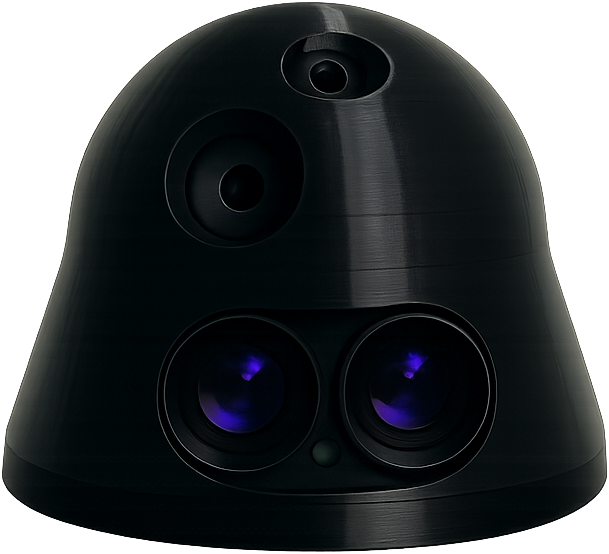
- Weight~300gr
- Dimensions~15cm x ~15cm x ~5cm
- SealingUpgradable to IP67
- Operating Temperature-30°C … +50°C
- Power Consumption5–30 W @ 12–36 V
Alternative GPS-less Navigation Systems and Their Weaknesses
UYAZ® was developed to address the fundamental weaknesses of existing GPS-less navigation solutions. Here are the challenges faced by other systems on the market: